

Route 18: Around the Onstwedder Holte, Onstwedde
On this route, you’ll walk from Onstwedde through the Dr. Hommesbos and around the Onstwedder Holte, which is essentially a bulge in the flat Groningen landscape. This route is 7.5 kilometres long.
The Onstwedder Holte is a moraine formed during the Saalian glaciation, an ice age some two hundred thousand years ago. The top of the hill lies 11 metres above sea level. In the Middle Ages, it rose above the peat bogs and was therefore one of the few places where agriculture could be practised on any scale. As a result, a ridge of the same name – the largest in Westerwolde – and the ridge village of Onstwedde developed on the moraine.
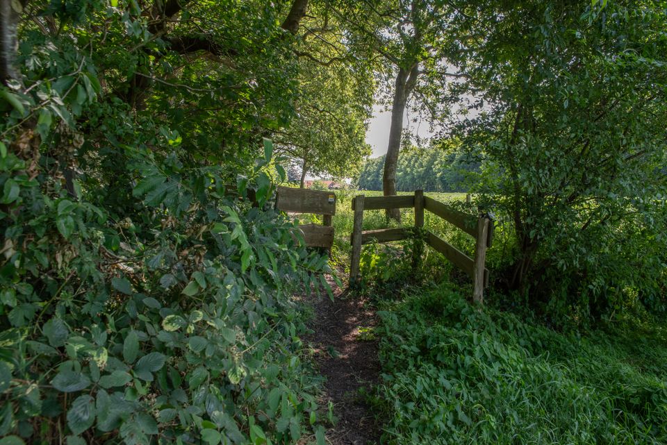
On the southern edge of the es lies the Dr Hommesbos. Apparently, the terrain there was too rugged for an es to form, which is why it has been left undisturbed over the centuries.
Dr Hommes purchased the plot for the Twe…
The Onstwedder Holte is a moraine formed during the Saalian glaciation, an ice age some two hundred thousand years ago. The top of the hill lies 11 metres above sea level. In the Middle Ages, it rose above the peat bogs and was therefore one of the few places where agriculture could be practised on any scale. As a result, a ridge of the same name – the largest in Westerwolde – and the ridge village of Onstwedde developed on the moraine.
On the southern edge of the es lies the Dr Hommesbos. Apparently, the terrain there was too rugged for an es to form, which is why it has been left undisturbed over the centuries.
Dr Hommes bought the plot before the Second World War to build a summer cottage there. At the end of the war, it was lost when German soldiers sought refuge there. Now the small wood (2 ha) boasts a wealth of biodiversity, with 40 species of plants and trees and 50 species of birds, including the goldcrest, depicted on the signpost for this route.
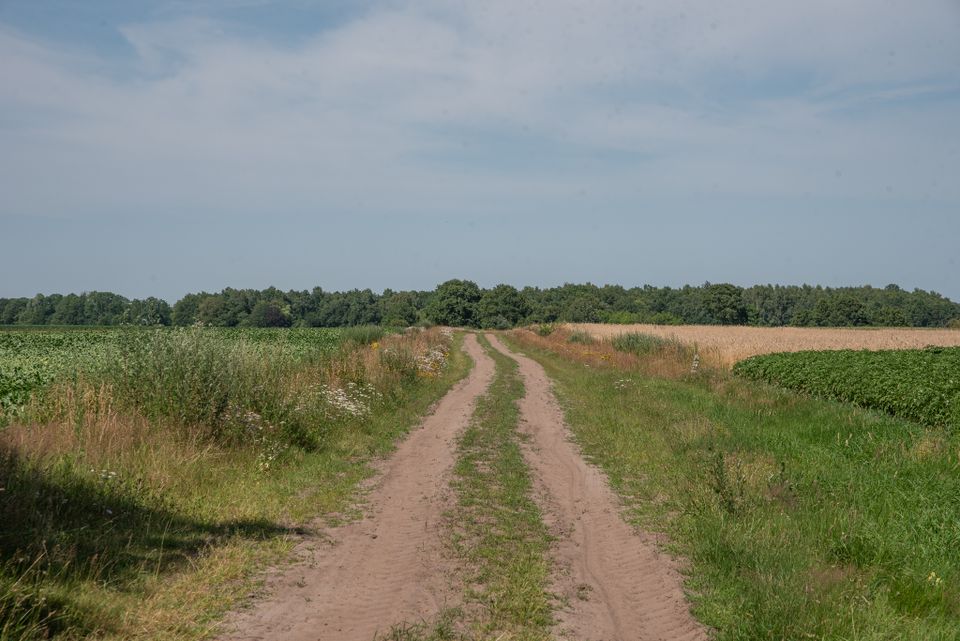
The Stobkeweg is an unpaved track that runs along the boundary between the old es and the undeveloped area to the east of it. Small patches of heathland, gently sloping grassland and copses characterise the landscape there.
Comment? Let us know via the contact form
This is a route from the Walking in Westerwolde Foundation, sponsored by Bed & Breakfast De Porrepoele. Experience the peace and space of south-east Groningen and come and enjoy our B&B, the goodies from the kitchen and our edible garden. Experience the beautiful views, cloudy skies and dark nights. Put on your walking shoes and discover Westerwolde! Not a guest and still enjoy the kitchen, the garden, or a walk-with-guide? That's possible too! Look for more information open contact us for the possibilities.B&B De Porrepoele / From the kitchen of De Porrepoele / Porre's Toen / PaddentrekPeggy Jansen and Geerte van den Wildenberg
Dwarsstukkerweg 3, 9661 TC Alteveer
06-25183239, porrepoele@gmail.com, www.porrepoele.nl
Here’s what you’ll see
-
Starting point:
TOP (Tourist Transfer Point) de Woldbrink, Onstwedde, on the corner of Dorpsstraat and Jabbingelaan (opposite Dorpsstraat 31)
Dorpsstraat 31
9591 AR Onstwedde
Navigate to the starting point -
End point:
TOP (Tourist Transfer Point) de Woldbrink, Onstwedde, on the corner of Dorpsstraat and Jabbingelaan (opposite Dorpsstraat 31)
Dorpsstraat 31
9591 AR Onstwedde
Navigate to end point
Features
Tour/Route
- Tagged: Yes
Landscape
- Bos Yes
- Rural landscape Yes
Walking
- Dogs must be kept on a lead Yes