Route 9: Stobkepad Onstwedde
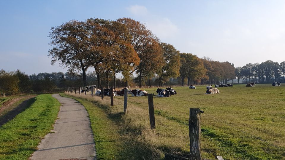
On this route, you walk near Onstwedde on paths where people walked centuries ago. This route is 8.5 kilometres long.
People must have walked where you are walking thousands of years ago, because Onstwedde, along with Sellingen, Vlagtwedde and Wedde, is among the oldest settlements in Westerwolde.
The habitable area in Westerwolde was originally limited to the banks of the Ruiten Aa, Mussel Aa and a bit of the banks of the Westerwoldse Aa.
All in all, a strip 25 km long and about 1 km wide, with a widening at Vlagtwedde and Onstwedde, plus a strip downstream where Blijham Vriescheloo and Bellingwolde now lie. Around it was mainly swamp.
Near Onstwedde is the largest rise, the Onstwedder Holte, which is about nine metres higher than the Ruiten Aa. This cover sand landscape probably formed during the last ice age, when the rivers carried much more water.
During the walk...
People must have walked where you are walking thousands of years ago, because Onstwedde, along with Sellingen, Vlagtwedde and Wedde, is among the oldest settlements in Westerwolde.
The habitable area in Westerwolde was originally limited to the banks of the Ruiten Aa, Mussel Aa and a bit of the banks of the Westerwoldse Aa.
All in all, a strip 25 km long and about 1 km wide, with a widening at Vlagtwedde and Onstwedde, plus a strip downstream where Blijham Vriescheloo and Bellingwolde now lie. Around it was mainly swamp.
Near Onstwedde is the largest rise, the Onstwedder Holte, which is about nine metres higher than the Ruiten Aa. This cover sand landscape probably formed during the last ice age, when the rivers carried much more water.
During the walk, you will pass a small plot with hay riders. This artwork was created in 1983 by Magda Lagerwerf, following a Scandinavian example and included in an art route.
The first traces of habitation in this area date from the Middle Neolithic, from 2800 to 2100 B.C. The discovery of a possible burial ground on the Veele ash and a number of flint axes and pieces of pottery testify to this. The culture is called the Funnel Beaker Culture, after the funnel-shaped neck cups that were in use at the time. There are also silent witnesses to the stilt-footed cup culture and the early Bronze Age.
But many more finds are from the Late Bronze Age (1000 to 700 B.C.) Urn fields from this period were found at Höfte and at five more sites in Westerwolde. In the find at Höfte, archaeologist Van Giffen discovered for the first time circular trenches around the burial sites, revealing a close relationship with ancient cultures in Westphalia.
So-called celtic fields have also been found in Westerwolde, for example in the Zuidveld near Sellingen. These are complexes of walled fields, sometimes tens of hectares in size. Soil research points to atomisation due to overexploitation, which may have been a reason for the population to move away to other regions.
Any comments? Let us know via the contact form
This is a route of the Walking in Westerwolde Foundation sponsored by Bakkerij Meinds Dorpsstraat 41, Onstwedde.
You are going to see this
Starting point
Parking area d'Ekkelkaamp
Kerklaan 7
9591 AH Onstwedde
Navigate to starting point
Features
Tour/Route
- Tagged: Yes
- Route typing: Nature trail
- Explanatory marking: Yellow - white marked WIW 9
- Comment starting point: Car park d'Ekkelkaamp
- Route features: From A to A
Walking
- Dogs on a leash Yes


