Northeastern polders

Where the Dollard once flowed
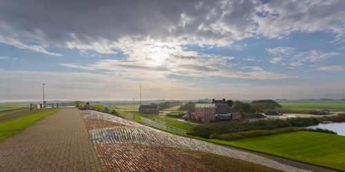
Much of Groningen used to be water or flood so often that the Groningers couldn't do much with it. The solution: roll up your sleeves, drain and surround with dykes. In Groningen's north-eastern polders, you experience the vast horizon of this flat countryside.


No dykes, no land, no life
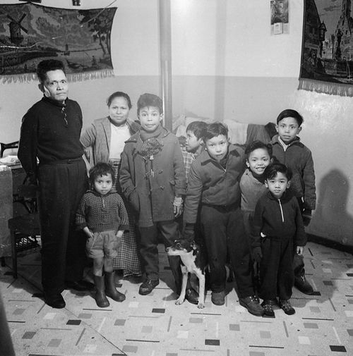
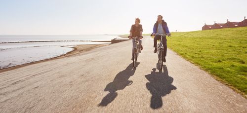
One of the polders where space seems endless is the Carel Coenraadpolder. The soil of this polder is particularly fertile; no wonder the Groningers wanted to conquer the land of the Dollard. Halfway down the dyke, there is therefore a monument with the text: "Gain diek, gain laand, gain leev'n". Are you on a bike? Then you regularly cycle past small working-class houses and huge manor houses here. The difference in prosperity was and is almost tangible here. The site of the Ambonezenbosje has long been home to barracks with an eventful history. Every few years they were given a different function. Today, there is a Tourist Transfer Point here where all kinds of routes cross.
Grain and tranquillity
To the south and east of the Carel Coenraadpolder lies the Reiderwoldepolder. This polder, covering over 1,500 hectares, forms a vast landscape that seems to stretch on forever. It is only on the horizon that you can spot a few signs of human life. The grain grows well here, but the breaches in the secondary dykes reveal that nothing here is one hundred per cent certain. Roads run through these gaps in the dyke, but during periods of extremely high water, the hatches of these breaches are closed as a precaution.