Other hiking trails in Westerwolde

On this page, you’ll find even more lovely walking routes in Westerwolde, provided by organisations such as Staatsbosbeheer and Natuurmonumenten. These routes, with the exception of those managed by Staatsbosbeheer, are not maintained by the Stichting Wandelen in Westerwolde.
-
Ter Borg walking route
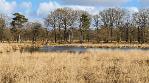
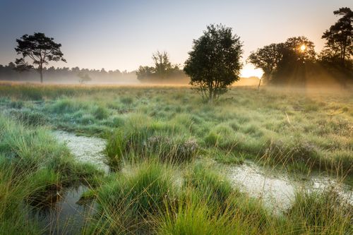
A walk along Ter Borg in Westerwolde, Groningen’s largest heathland area. In the hamlet of Ter Borg, it feels as though time has stood still. This route is 5 kilometres long.
-
Kanunnikenpad
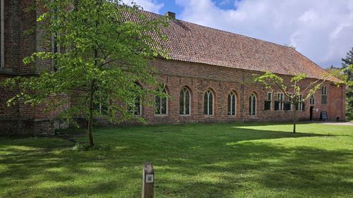
A walk through the woods around Ter Apel Monastery in Westerwolde. The route is named after the monastery’s former residents: the canons. This route is 4 kilometres long.
-
Sellingerbossen and Ter Borg walking route
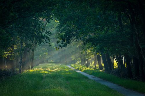
The Sellingerbossen and Ter Borg walking route is a walk through the woods around Sellingen, past Ter Borg and the theater van de Natuur on the Ruiten Aa. This route is 8 kilometres long.
-
Holle Beetse Vennekampen Forest Ranger’s Trail
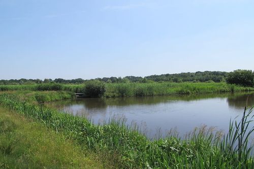
From a chance encounter with a roe deer to a glimpse of the reed bed’s inhabitants, you’ll come across many surprises along this walk in Westerwolde. This route is 8 kilometres long.
-
Renneboom walking route
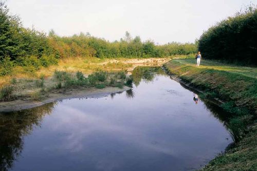
A walking route through the Sellingerbossen in Westerwolde, where, thanks to the variety of tree species, many animals feel at home. This route is 4.2 kilometres long.
-
Egelpad Sellingen walking route
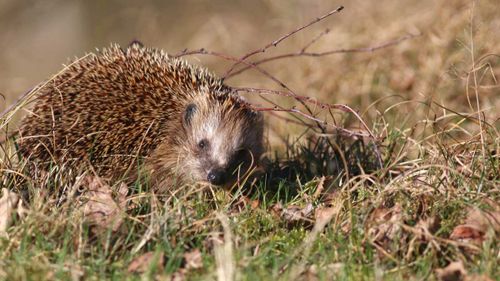
Meet the little prickly hedgehog in the Sellinger Forest. Along this route, the hedgehogs will show you the way. This route is 2.5 kilometres long.
-
Ruiten Aa Forest Ranger’s Trail

Visit the Netherlands’ smallest theatre and Groningen’s largest heathland area whilst walking along the forest ranger’s path in Sellingen. This route is 10 kilometres long.
-
Ter Wupping walking route
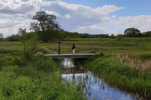
The Ter Wupping walking route takes you past the ash trees and stream valleys of Westerwolde. What makes this route special is that you walk through an area with significant variations in elevation: with fields on the higher ground and the stream valley low in the landscape.
The route is 7 kilometres long, marked in red, and dogs are allowed on a lead. -
Vledderbos walking route
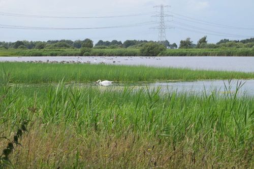
The Vledder Route takes you past a patchwork of young woods and peatlands in the Kanaalstreek, featuring beautiful avenues, winding paths and a large pond.
The route is 5 kilometres long, marked in red, and dogs are allowed on a lead.
-
De Marke walking route
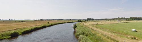
The Village Council has developed a walking route through the Blijhamster woods and through the village. The starting point is on Lutjeloosterweg, and there is a car park at the start. The route is signposted with route markers. This route is 6.7 kilometres long.
-
Arboreta walking route
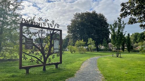
The Blijham Village Council has created a walking route taking in all the arboreta established to date. The starting point is on the village square (near the Spar) in the centre of Blijham.
-
Boomweideroute in the Ruiten Aa Valley

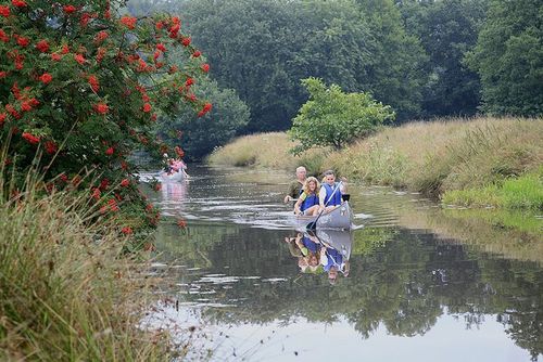
The Ruiten Aa is a surprisingly narrow stream that winds its way through a park-like landscape. Following the reclamation of the high moors, the area was used for agriculture for a long time. Scattered across the landscape are ash groves and wooded pastures where Lakenvelder cattle graze. This route is 3.5 kilometres long.
-
Smeerling Nature Trail
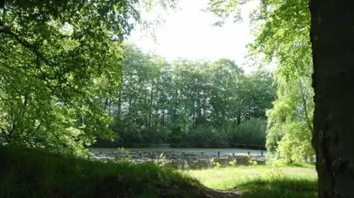
The Smeerling Nature Trail takes you back to the nature of ‘days gone by’. Along the meandering stream, the herb-rich fields and the meadows, you can enjoy a profusion of flowers in spring. But it’s also stunning here later in the year, with its glimmers of light and sweeping views. Along the way, there are plenty of spots to pause and take in the surroundings and have a rest.
This route is 2 kilometres long and wheelchair-accessible. -
Walking route from Van Tange to Rijsdam

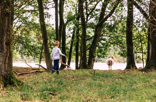
A walking route through woodland, past ponds and heathland in Westerwolde. Who knows, you might even come face to face with a grazing cow! Dogs are allowed off the lead almost everywhere, except in the grazing area, which is a 200-metre stretch.
The route is 4.3 kilometres long and marked in white
-
Forester's path Ter Wupping
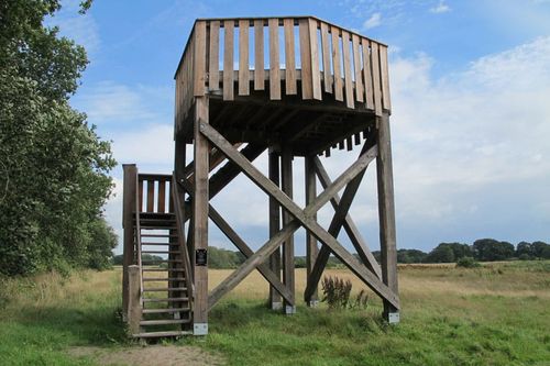
This forester's path guides you past ancient fields, over ash trees and through the stream valley of the Mussel Aa. In fact, three streams converge in this area: the Mussel Aa, the Ruiten Aa and the Oude Loopje. Stand still on the decking, or go up and be surprised by the difference in height you see. You'll almost forget you're in Groningen.
-
Walking route Tussen Ruiten en Molen Aa

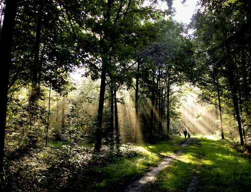
Walking route through one of Groningen's oldest forests in Westerwolde. Wood anemone, lily of the valley and Solomon's wort grow under the trees. Dogs are allowed on a leash.
-
Forester's path Ter Apelerbossen

Discover the little kingfisher in spring and see the rare stone blackberry in bloom on a walk along the foresters' path in Ter Apel. A peaceful trip on winding paths in old forest, along the waters of the Ruiten Aa and overlooking open fields. Plenty to see!